
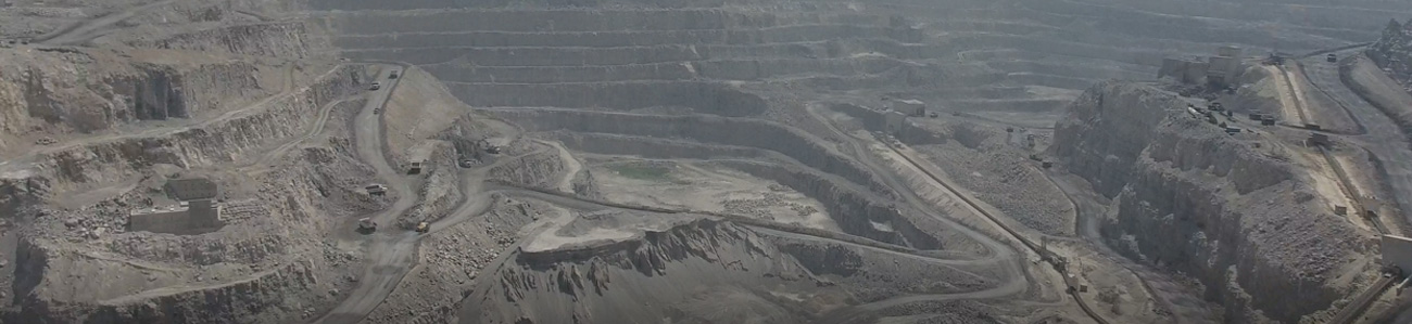
Land Surveying
Gulf Positioning provides a vast and comprehensive range of land surveying services.
These include but are not limited to: route, topographic, boundary and as-built surveys.
Services
- Topographic Surveys
- Site & Corridor Mapping
- Orthophotos
- Digital Surface Modelling
Download Brochure

November 2017
Accessories Catalog
News
View All-
Feb 27,2017
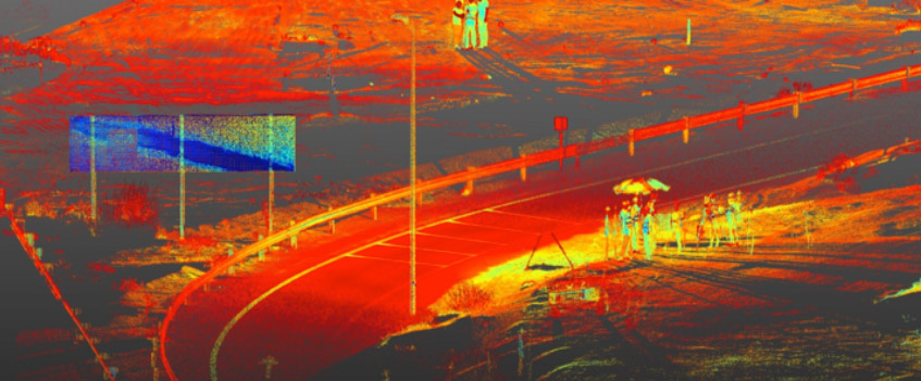
Gulf Positioning Services is a specialized service provider of 3D Scanning, Mobile…
-
Jan 04,2017
Look at 2017 from a new perspective
Service & Support